Click to download now, finish the installation quickly, and directly unlock the all-round experience
Screenshots
Click to download now, finish the installation quickly, and directly unlock the all-round experience
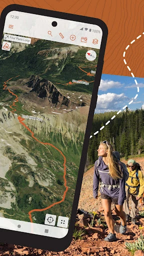
CalTopo is a Maps & Navigation app for hikers, mountain guides, avalanche educators, search-and-rescue teams, and anyone planning travel in remote terrain. It combines detailed topographic mapping with route planning, GPS tracking, terrain analysis, and field navigation. The app is made by CalTopo LLC and has a 4.84 rating from 4,824 reviews, with 100,000+ installs.
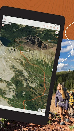
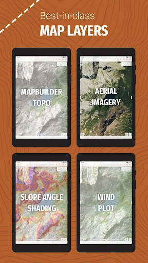
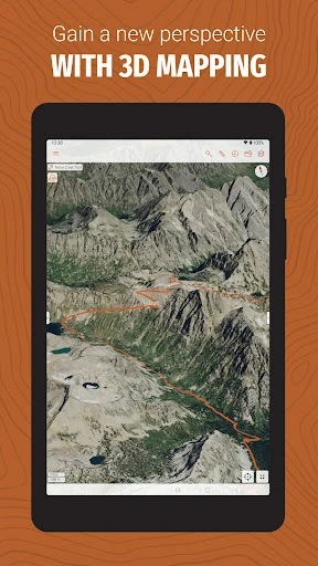
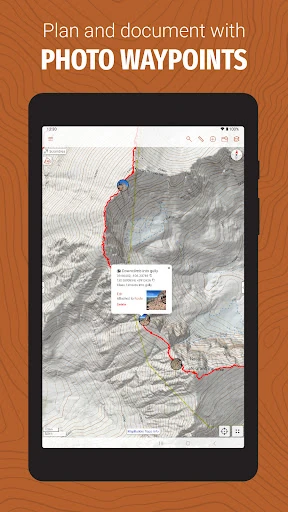
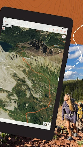
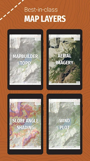
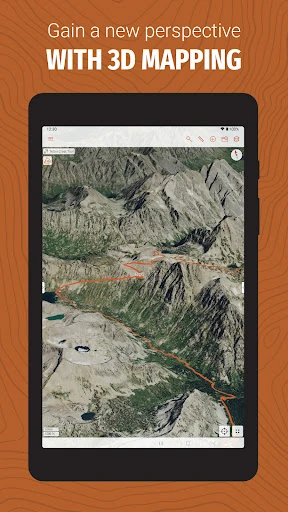
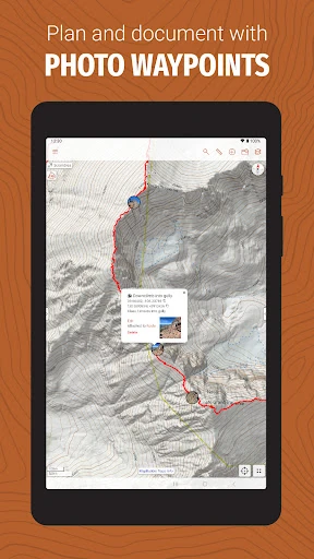
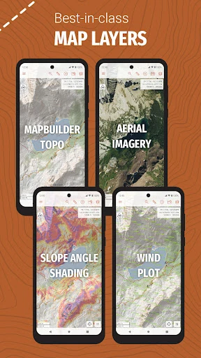
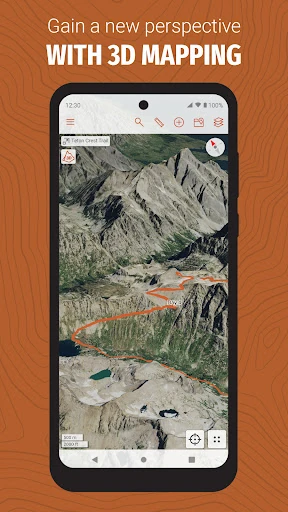
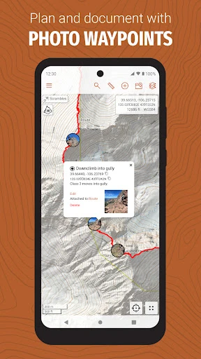
The app provides access to a broad range of map layers, including topographic, satellite, Forest Service, NAIP, and elevation-focused data. Users can examine terrain with tools such as slope-angle shading and sun-exposure information, which can be useful when assessing routes and winter conditions. Markers, lines, and planned routes help turn map research into a practical trip plan.
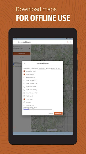
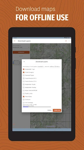
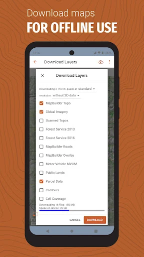
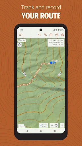
CalTopo supports downloading map data for offline use, allowing navigation to continue when a cellular connection is unavailable. GPS tracking can show your position against saved maps and routes without relying on an active data signal. This makes it suited to wilderness areas where coverage is limited or absent, although detailed offline layers may require considerable device storage.
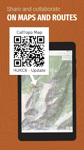
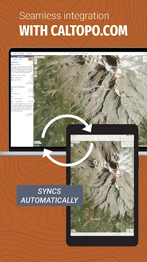
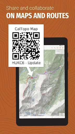
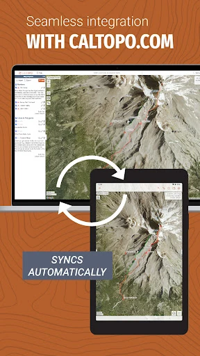
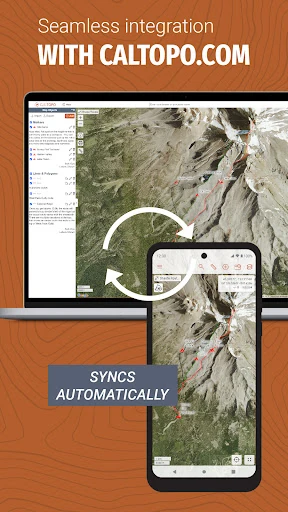
Maps and markers can be synchronized between the desktop and mobile versions, so plans made on a larger screen can be used in the field. Shared maps and live tracking also support group travel and organized operations by keeping participants focused on the same information. The interface exposes many layer controls and navigation tools, so it may take time for casual users to learn, but that depth is useful for experienced outdoor and rescue teams.